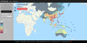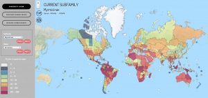
The design and implementation of antmaps.org was described in a paper (Visualizing and interacting with large-volume biodiversity data using client–server web-mapping applications: The design and implementation of antmaps.org) that was published this week in Ecological Informatics. It describes the trend of the increasingly frequent use of web and database technologies within the biological fields, it uses antmaps.org as a case study to propose a web-mapping framework for visualizing large-volume biodiversity data, it describes the key design ideas (cartographic design and user-centered design) behind the application and it details the evaluation of the application to assure the usability of the interface.
Click on this link to read the full paper: http://dx.doi.org/10.1016/j.ecoinf.2016.02.006

 ! AntMaps is an interactive web framework for mapping ant species ranges and aggregate biodiversity patterns. In particular, AntMaps is built to visualize and interact with